
BatchGeo
A platform that makes it easy for users to pull the addresses they need from a map

- Category CAD & PLM Software
- Languages German, English, French, Italian, Japanese, Korean, Dutch, Portuguese, Russian, Spanish, Chinese (Simplified)
An intuitive mapping tool for visualizing and sharing location data.
Overview
BatchGeo is a user-friendly software designed to simplify the process of visualizing, interpreting, and sharing geospatial data. It transforms raw data into comprehensive maps that can add value to various business operations.
Features and Capabilities
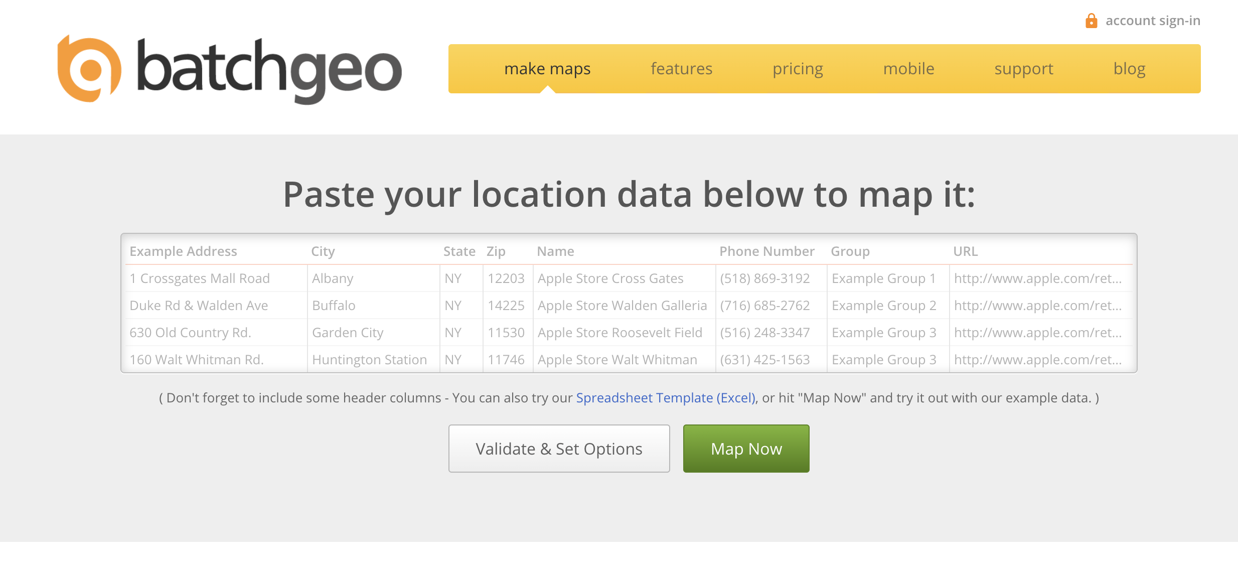
BatchGeo offers a wide range of features to its users. Its data visualization feature converts complex data into easy-to-understand maps. Users only need to copy and paste the data into the BatchGeo interface, and the software takes care of the rest.
The grouping and categorization feature allows users to segment their data based on specific criteria. This feature is especially useful in presenting a clearer and more organized view of the data.
BatchGeo's interactive maps feature lets users customize their maps by adding interactive elements. These include pop-up information boxes, colored markers, and more.
Performance and Usability
BatchGeo performs exceptionally well in terms of usability. It boasts a clean, user-friendly interface that even non-technical users can navigate with ease. The software's performance is also commendable, with quick processing times for data conversion and map generation.
Data Security
Data security is a crucial aspect of any software handling sensitive information. BatchGeo takes this aspect very seriously with its SSL encryption for all data provided. The software does not store any data long-term, adding another layer of security for its users.
Customer Support
BatchGeo provides excellent customer support. Users have reported prompt responses to queries and issues, along with helpful and detailed guidance. The software also has an extensive online help center with a wealth of resources for users.
Conclusion
Overall, BatchGeo stands out as an efficient tool for data visualization and mapping. Its user-friendly interface, alongside a suite of powerful features, makes it a valuable asset for businesses and individuals alike. Its robust data security measures further enhance its appeal to users.
Highest-Rated Features:
- Geocoding
- Publishing
- Reporting
Lowest-Rated Features:
- Data Manipulation
- Buffer Zone Query
- Overlaying


- Company
- BatchGeo
- HQ Location
- VANCOUVER, Washington
- LinkedIn® Page
- https://www.linkedin.com/company/batchgeo/about (2 employees)
- Free: $0
- Pro: $99